|
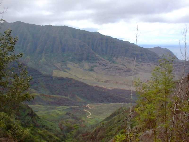
MAKUA VALLEY VIEW This is a spectacular view of Makua Valley. The Valley is controlled by the military and is used for training so do not descend into the valley.
|
|
|
|
MAKUA VALLEY VIEW This is a spectacular view of Makua Valley. The Valley is controlled by the military and is used for training so do not descend into the valley.
|
|
|
|
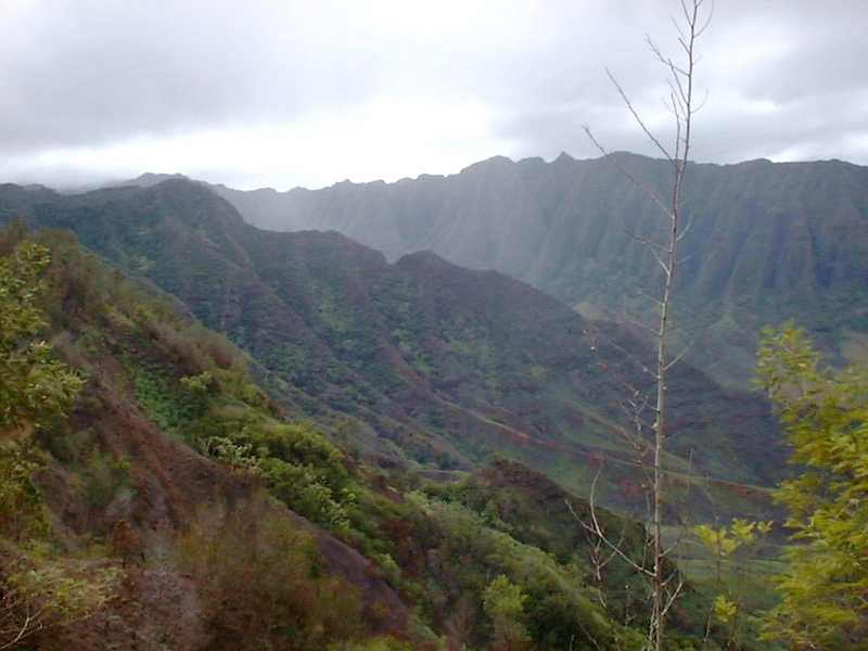
NORTHERN MAKUA VALLEY This is a view of northern Makua Valley. Hidden in the clouds in the tallest peak on Oahu, Mt Kaala 4000 ft. This view is around 1900 ft.
|
|
|
|
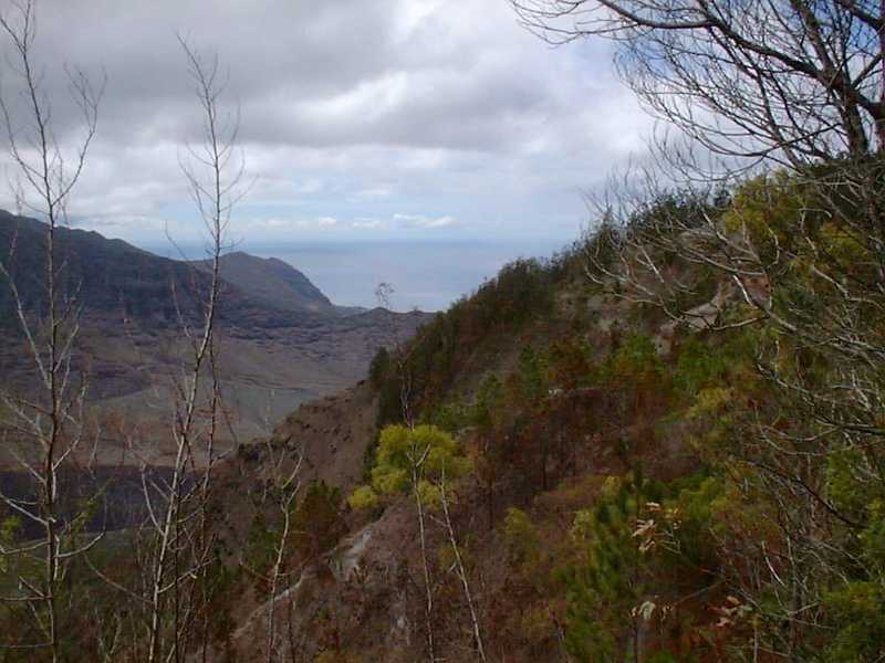
MAKUA VALLEY OPENS UP TO THE OCEAN Makua Valley looking West. Yokohama Beach is at the very west end of Makua Valley. Some of the trees are bare because of a controlled brush burn performed by the military which ran out of control. The fire burned its way from down in the valley up the ridge.
|
|
|
|
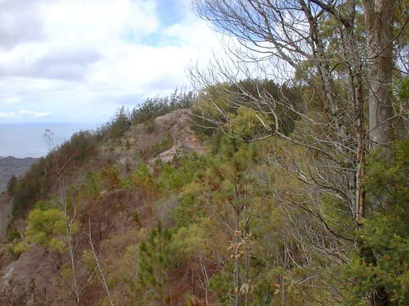
THE FIRE A good view of the barren area left by the fire which ran up the ridge. The winter, however, will bring rain and vegetation will grow rapidly making this area beautiful again.
|
|
|
|
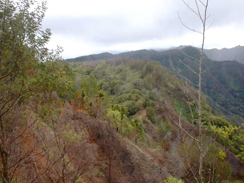
THE KUAOKALA TRAIL The eroded area is the Kuaokala Trail which head west 3 miles toward a military satellite installation. The trail follows Makau Valley along the ridge line.
|
|
|