|
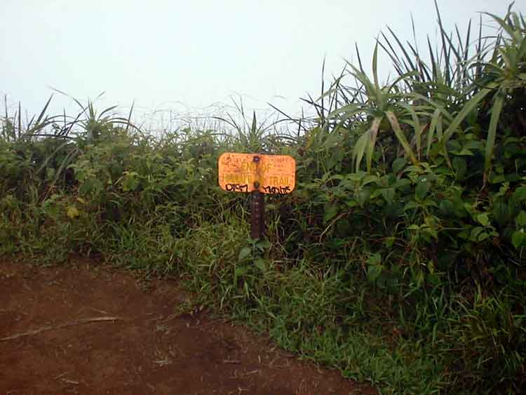
THE END OF THE TRAIL AT THE SUMMIT This sign marks the end of the Hawaii Loa trail. Normally you would see ocean in the horizon but the summit at the time of this picture was socked in.
|
|
|
|
THE END OF THE TRAIL AT THE SUMMIT This sign marks the end of the Hawaii Loa trail. Normally you would see ocean in the horizon but the summit at the time of this picture was socked in.
|
|
|
|
OLOMANA The summit cleared for a small time to allow me to take a picture of Olomana which is the mountain in the center of the picture. Olomana consists of three peaks. All three peaks can be hiked to but the second and third peaks (the peak closest to us) are very dangerous.
|
|
|
|
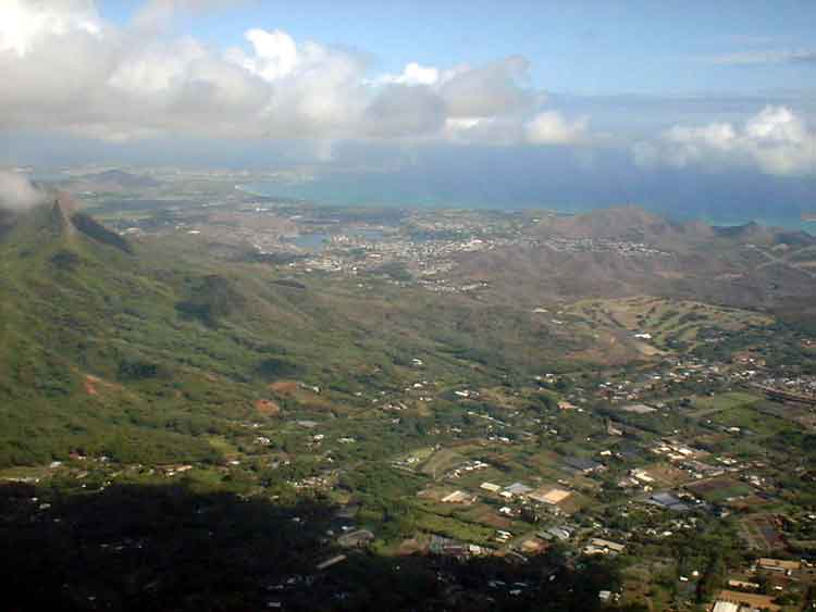
VIEW OF KAILUA Just to the left of Olomana is Kailua. The peninsula which juts out in the ocean and is slightly hidden by clouds is the Kaneohe Marine Base. Waimanalo is directly below.
|
|
|
|
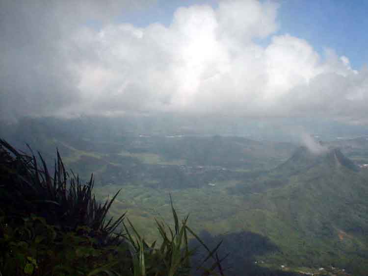
SOCKING IN AGAIN I put this picture in just to show you how fast the summit can sock in and hide the view. This picture was taken 1 minute after the one above.
|
|
|
|
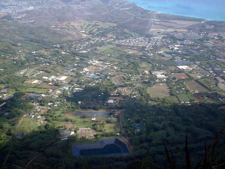
LOOKING DIRECTLY BELOW AT WAIMANALO Looking down at Waimanalo from a height of 2400 feet. It is straight down to Waimanalo. I don't think you need a sign to tell you that you are at the end of the trail.
|
|
|
|
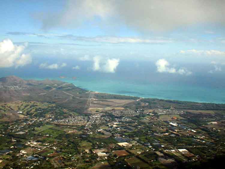
BELLOWS AIR FORCE BASE In the center of the picture is the runways for Bellows Air Force Base. One can also see a couple of small islands in the upper left hand corner directly below the clouds. These islands are directly off Lanikai.
|
|
|