|
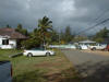
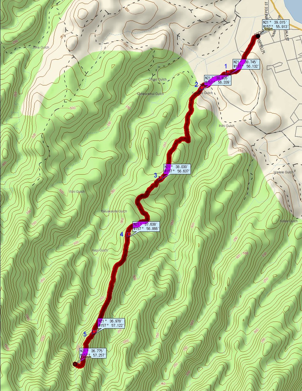
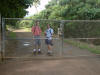
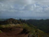
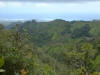
This is a intermediate trail which starts in Laie on the windward side
near the Mormon Temple. Heading north take the fourth left after
passing the Mormon Temple on Naniloa Loop. Enter a traffic circle and
take the second right onto Puohaili Street. Park on the grass next
to Laie field. The trail is not overly exhaustive and
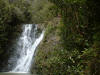
there is a nice little waterfall on the way. You can drop down to
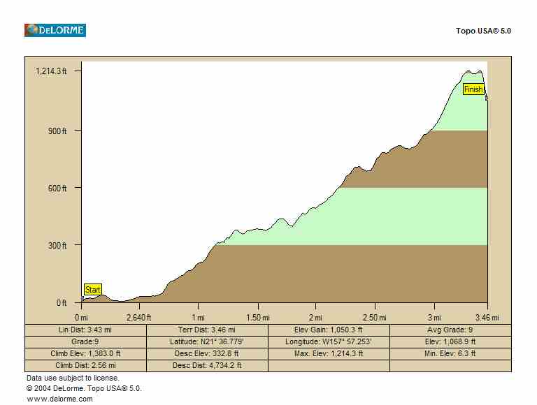
the waterfall or continue on to the summit.. The hiking time is 3.5 hours. Estimated burn:
1150 calories
There is no geocache currently on this trail. |