|
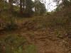
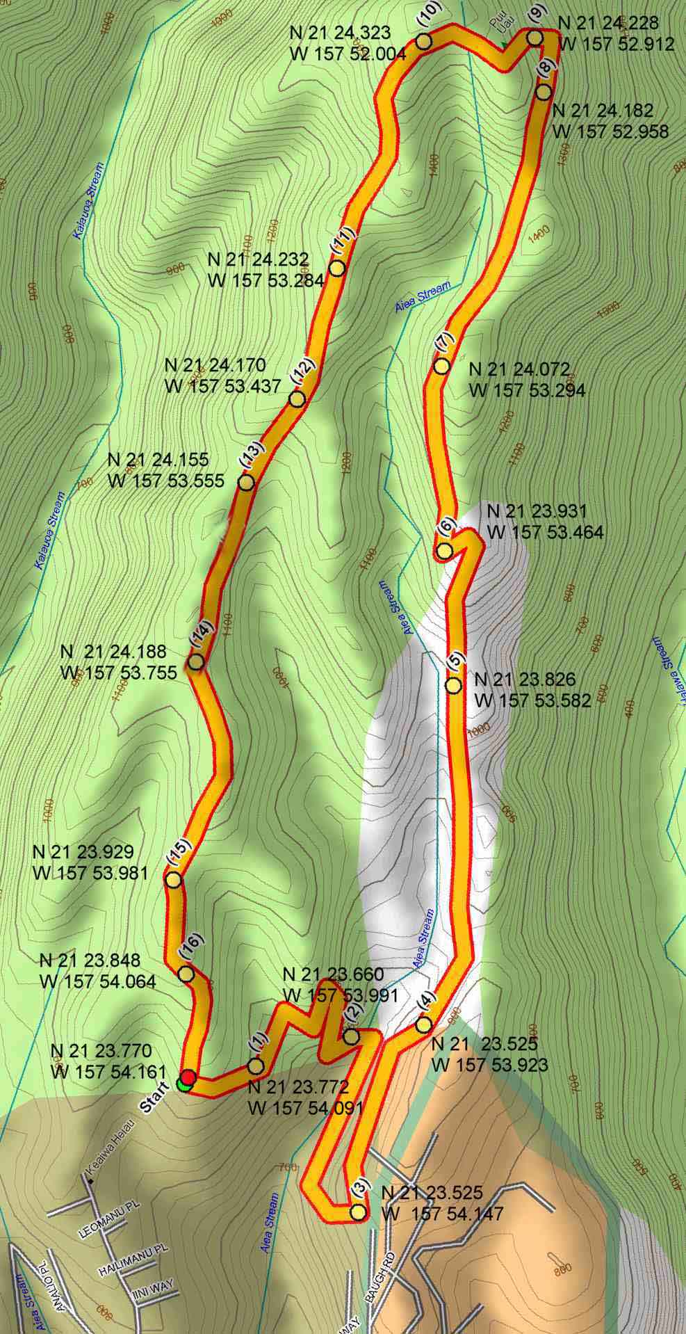
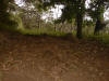
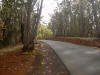
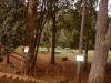
This is a beginner trail which starts at the top of Aiea Heights Drive.
At the top of the drive is a park. After entering the park the road
splits into a one way loop. Park at the first parking area after
the split. The Aiea Loop Trail starts at this point.The
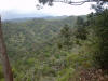
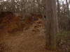
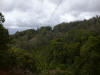
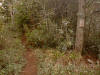
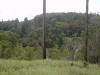
trail makes a 4-1/2 mile loop around a graded ridge. There are
some great views of Halawa Valley and the H-3 tunnels. This trail
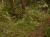
is also used by mountain bikers so be careful around blind corners.
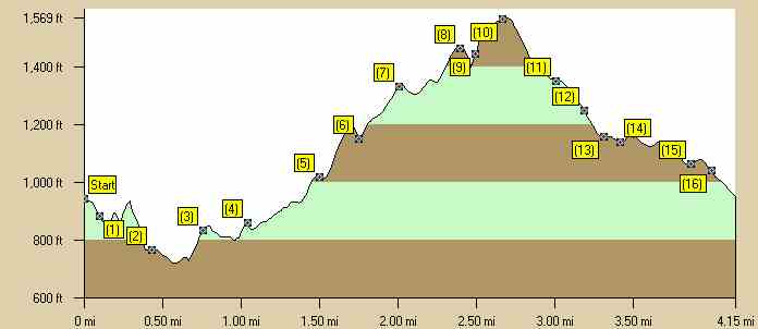
The hiking time is 2 - 2 1/2 hours. The GPS coordinates may not be extremely accurate because of thick vegetation and heavy solar flare activity was occurring at the time creating EMF disturbances. Estimated burn: 710 calories There is one geocache on this trail: Traditional cache (N 21 23.576 W 157 54.129). |
|
|
Directions to Trail (MapQuest) Download GPS Waypoints of the Pictures Print Maps and Elevation Profiles Aiea Loop 3D Streaming View (WMP9)
|