|
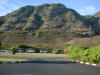
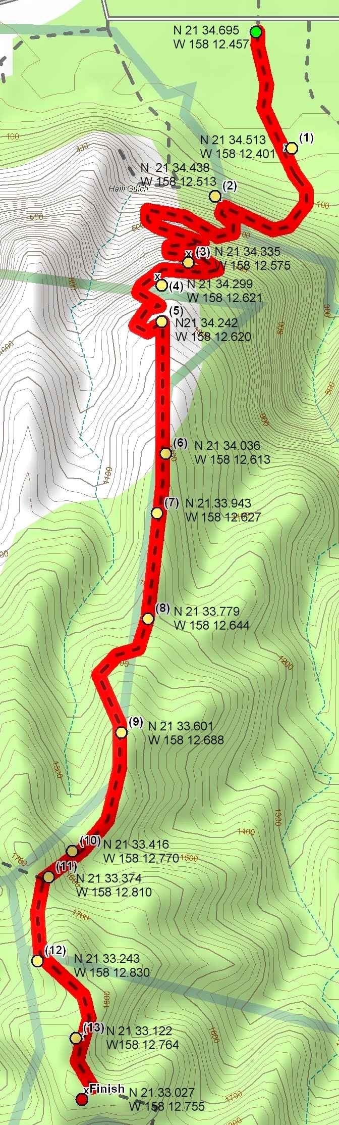
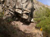
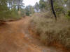
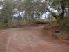
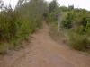
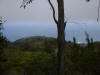
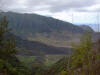
This is an intermediate trail which starts behind the Dillingham Airfield on the North Shore just of Farrington Highway. The trail gradually works up a 1000 ft. cliff and then follows 4 wheel drive road to a beautiful Makua Valley overlook. The trail switch backs are very rocky. Watch out for falling rocks! The hiking time is 2 1/2 - 3 hours. Estimated burn: 1130 calories There are two geocaches located on the trail: Look Boss De Plane! De Plane! (N 21 34.426 W 158 12.578) and Makua Valley View (N 21 33.025 W 158 12.735). |
|
Download GPS Waypoints of the Pictures Print Maps and Elevation Profiles Kealia Trail 3D Streaming View (WMP9)
|
|
Click on thumbnails or topo map to bring up pictures |
|
S |
|
|
|
1 |
|
|
|
2 |
|
|
|
3 |
|
|
|
4 |
|
|
|
5 |
|
|
|
6 |
|
|
|
7 |
|
|
|
8 |
|
|
|
9 |
|
|
|
10 |
|
|
|
11 |
||
|
12 |
|
|
|
13 |
|
|
|
F |
|
|
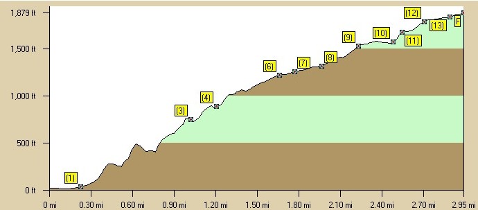
Kealia Trail Elevation Profile |
|
|