Mt. Olympus Trail 360 Panoramic View
Move cursor over picture while holding down left mouse button
|
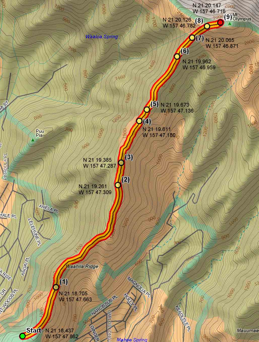
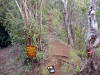
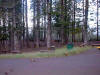
This is a intermediate trail which starts at Waahila Ridge State Park at
the top of St. Louis Heights at the end of Ruth Place. Hikers can park in a nice parking lot
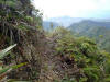
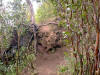
within the State Park. This trail is a ridge trail which goes
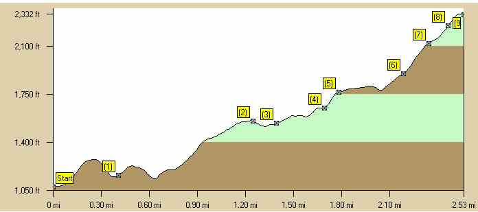
through many ups and downs before reaching the summit. The hiking time is
4 - 4
1/2 hours. Estimated burn: 1150 calories There is one geocache on this trail called "C.O.W. Headquarters" at N 21 18.594 W 157 47.677. |
|
|
Directions to Trail (MapQuest) Download GPS Waypoints of the Pictures Print Maps and Elevation Profiles Mt. Olympus 3D Streaming View (WMP9)
|