|
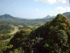
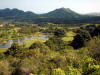
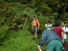
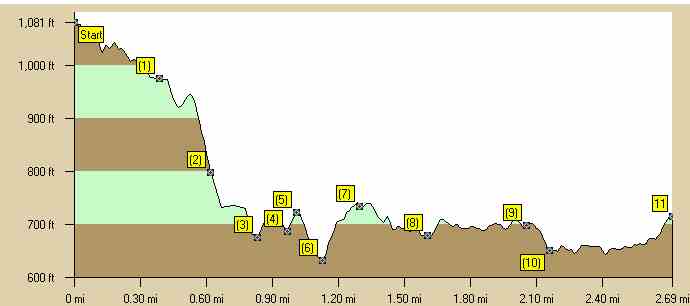
This trail starts from a popular tourist attraction the Pali Lookout. The trail is a beginners trails to a spectacular waterfall. If you continue on the Likeke trail it is more an intermediate trail which is a little less improved. The trail is lush and has minimal elevation changes. Read the directions accompanying the pictures below, because the trail route can be confusing. The hiking time is 3 1/2-4 hours.
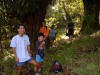
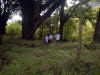
Being a beginners' trail, it is ideal for taking your family - as you can
see in the pictures we did. Luckily all the elevation changes involve
walking downhill, so there'll be no hard slogs up steep hillsides to exhaust
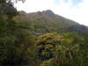
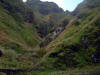
you. This is one of those classic hikes that come down from the central
highlands to the coastal plain that you find in any number of countries
around the world, from the French island of Corsica to Sri Lanka. They are
always popular as you get spectacular views down towards the centers of
population and then onto the sea. Estimated burn: 800 calories There is one cache on this trail: Mango-Tango (N 21 22.235 W 157 47.761). |
|
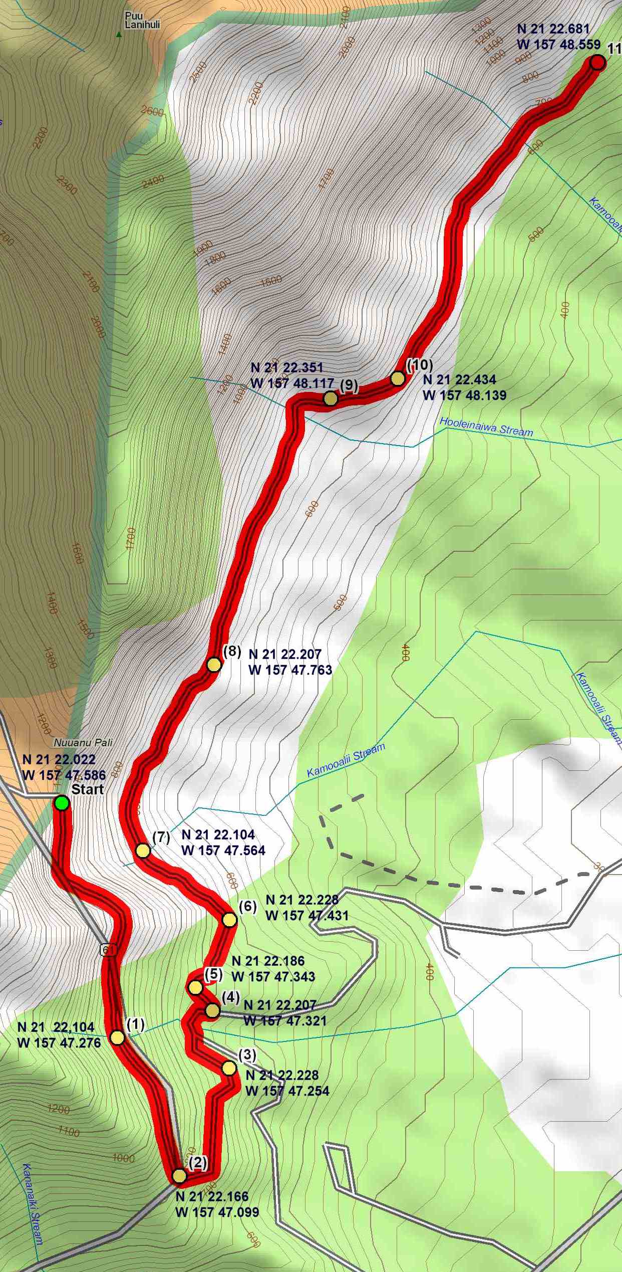
Directions to Trail (MapQuest) Download GPS Waypoints of the Pictures Print Maps and Elevation Profiles Old Pali 3D Streaming View (WMP9)
|
|
The map is rotated 90 Degrees East of North |
|
11 |
|
|
| 10 |
|
|
|
9 |
|
|
|
8 |
|
|
|
7 |
|
|
|
6 |
|
|
|
5 |
|
|
|
4 |
|
|
|
3 |
|
|
|
2 |
|
|
|
1 |
|
|
|
S |
|
|
Old Pali - Likeke Trail Elevation Profile |
|
|