Makapuu Point 360 Panoramic View
Move cursor over picture while holding down left mouse button
|
| |
|
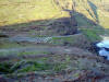
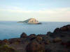
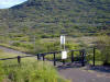
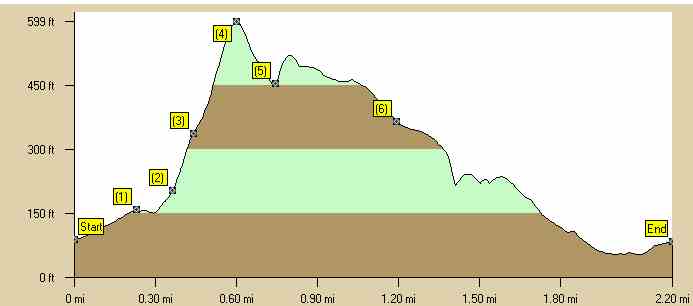
This is a intermediate trail which starts on Kalanianaole Hwy. next to a small gated paved road which heads up to the Makapuu lighthouse. If you want to take a beginners route to Makapuu point just follow the small paved road to the lighthouse. You can park along side the highway but come early so you can get parking. . The hiking time is around 1 to 1-1/2 hours. Estimated burn: 500 calories There is one geocache on the trail called "Zippy's Tub" at N 21 18.525 W 157 39.158. |
|
|
Directions to Trail (MapQuest) Download GPS Waypoints of the Pictures Print Maps and Elevation Profiles Makapuu Point Trail 3D Streaming View (WMP9)
|